“Think in terms of 16,000 guests a day…going up and coming down“
The following article by Brent Harley has been copied from the CLSA’s publication Landscapes. A link to the original article can be found here.
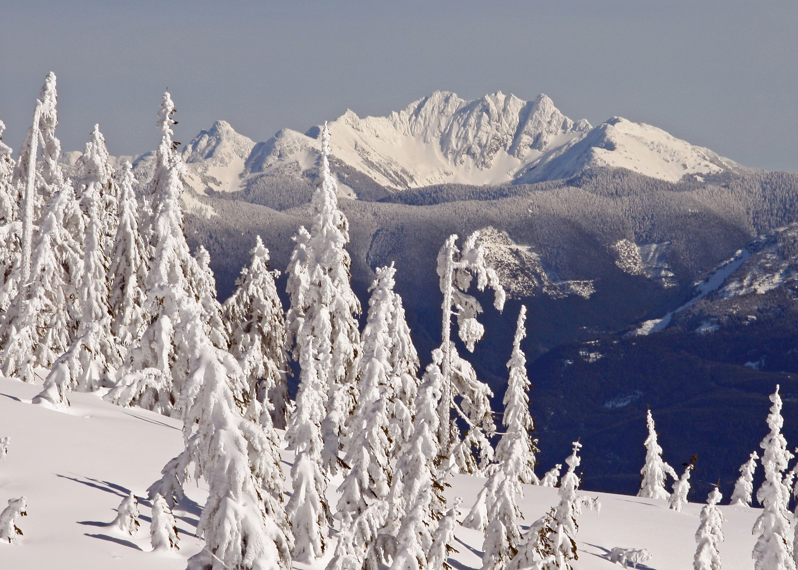
Hemlock is a small gem of a ski area in the Fraser Valley of British Columbia. On a big day, Hemlock may host 1,150 skiers: the existing resort has 4 ski lifts servicing 35 trails on 145 hectares. It is renowned for its deep snow, great ski terrain and amazing vistas. The Sts’ailes First Nation has long considered the area magical, and the locals are well aware of its incredible potential for expansion.
In 2008, our firm, Brent Harley and Associates Inc. (BHA) was retained to create a Master Plan for Hemlock. We are a Whistler-based firm that focuses on the design of mountain resorts throughout the world. Our client, The Berezan Group, instructed us to fully explore the potential of expanding this fledging ski area into a major, all-season world-class destination resort. The Sts’ailes First Nation has long considered the area magical.
TAKING THE MEASURE OF THE MOUNTAIN
We acquired digital mapping of the surrounding Crown lands and initiated the project by completing an in-depth, GIS-based analysis. By layering the site’s characteristics (slope, elevation, aspect, fall-line, shape) with the environmental attributes (climate, vegetation, water, wildlife habitat, corridors), it quickly became clear to us that Hemlock’s potential was significant. The area has a wide variety of skiable and recreational terrain with a reliable snowpack, yearround backcountry opportunities, striking vistas and a beautiful mountainous setting dropping down 1430 metres to Harrison Lake.
Our analysis continued with an inventory of the logging, mining and backcountry tenures. Finally, and perhaps most importantly, we considered the historic and current land use interests of the Sts’ailes Band, encouraging the Berezan Group and the Band to initiate a “chief-to-chief” dialogue.
We created a wide variety of concepts, all envisioning a “unique cutting edge, four season mountain resort” with a sweeping appeal. The concepts were vetted through an iterative process that culminated in the Hemlock Master Plan. The mountain plan proposes a vast array of facilities for Hemlock, yet all are designed and located in harmony with the natural attributes of the terrain so as to minimize the resort’s footprint on the land. Hemlock would transform into an easily accessible refuge from the City.

GOING UP AND COMING DOWN
The Master Planning process focused first on Hemlock’s primary attraction, the ski terrain. New skiing and snowboarding opportunities, staged from a series of villages, would promise diverse ski opportunities for all levels of skiers. We designed ski trails that optimize the skiing experience, taking into account slope gradients, orientation, reliable snowpack, skier skill classes (beginner, intermediate, expert), linkages and travel times. We considered connections to the base area villages and residential areas, to enhance the ski-to/ski-from opportunities. Day skiers and destination guests could choose to spend each day in a single area of the mountain or range further afield, exploring, travelling over snow from one end of Hemlock to the other.
From that starting point, we sited appropriately-sized ski lifts to complement trail location and design, balancing downhill capacities of the trails with uphill capacities of the lifts. This enabled us to calculate the Comfortable Carrying Capacity (CCC) of the resort in terms of total number of the skiers and snowboarders per day. At buildout, Hemlock will have 23 ski lifts servicing 283 formal trails, plus glades, for a total of 1,255 hectares of developed ski terrain. The alpine skiing facilities will have a CCC of 13,500 skiers/boarders per day.
GOING NORDIC – AND BEYOND
Like every world class winter resort, however, Hemlock needed to look beyond the Alpine equation to add Nordic skiing, backcountry touring, snow play, ice skating, snowshoeing, tubing, snowmobiling, winter ziplining and an extensive multi-use network of trails. Summer facilities, too, were incorporated to cater to the expectations of guests, secondhome owners and residents: a network of trails (a paved “valley trail” system, gravel surfaced trails, single track trails), liftserviced facilities and activities (mountain biking, sightseeing, ziplines, an aerial adventure park, hiking, interpretive tours, horseback riding), waterfront facilities on Harrison Lake (beaches, boating, a marina, swimming, fishing) and two eighteen-hole golf courses.
With these additional outdoor attractions, plus indoor facilities and passive visitors, Hemlock could welcome another 3,200 guests per day. The Balanced Resort Capacity (BRC) increased to a potential 16,700 guests per day.
MEANWHILE BACK AT THE LODGE
Analyzing how the terrain could provide for the staging requirements of some 16,000 guests was the next challenge. We considered such specifics as resort core development, creating a sense of arrival, tallying visitor walking distance, considering changes in grade, viewsheds, solar access, size and scale of resort facilities, 3D massing, architectural programming, skier/pedestrian/ vehicular relationships, operations, back-ofhouse facilities, overnight accommodation, residential development and environmental sensitivities.
The types of built space included guest services of all kinds: restaurants, day lodges, vehicle access, parking, rental and repair shops, ski school, patrol and first aid, day care, lockers, resort administration and employee facilities. By buildout, Hemlock will have increased built space more than 17-fold, from the existing 1505 square metres to 25,966 square metres.
To tally the overnight accommodation required, we analyzed not only capacity, but the number of day-use visitors versus destination guests and the critically important need for employee and resident housing. We determined that at buildout, the resort should have some 20,000 beds: 40 per cent public (hotels, condotels, pensions, nightly rentals), 45 per cent private (single family chalets, condos, townhouses) and 15 per cent resident housing.

THE MOUNTAIN SCENARIO
Hemlock in the future will include five distinct villages, each with special attributes, and a series of resort residential subdivisions, all designed to service the adjacent mountain facilities, all linked by trails and lifts. Economic conditions will determine the pace of implementation, but development is divided into five sequential phases, with each phase creating a finished, well-balanced resort in its own right. Hemlock has a Joint Venture Agreement in place with the Sts’ailes Band, and has approval from the BC Environmental Assessment Office. (A Master Development Agreement with the Province is under negotiation.) The developer has begun to implement the first phase, and BHA will continue to refine the design, to establish Hemlock as a unique, major destination mountain resort.


 © 2019 BHA
 © 2019 BHA
 © 2019 BHA
 © 2019 BHA
 © 2019 BHA
 © 2019 BHA
 © 2019 BHA
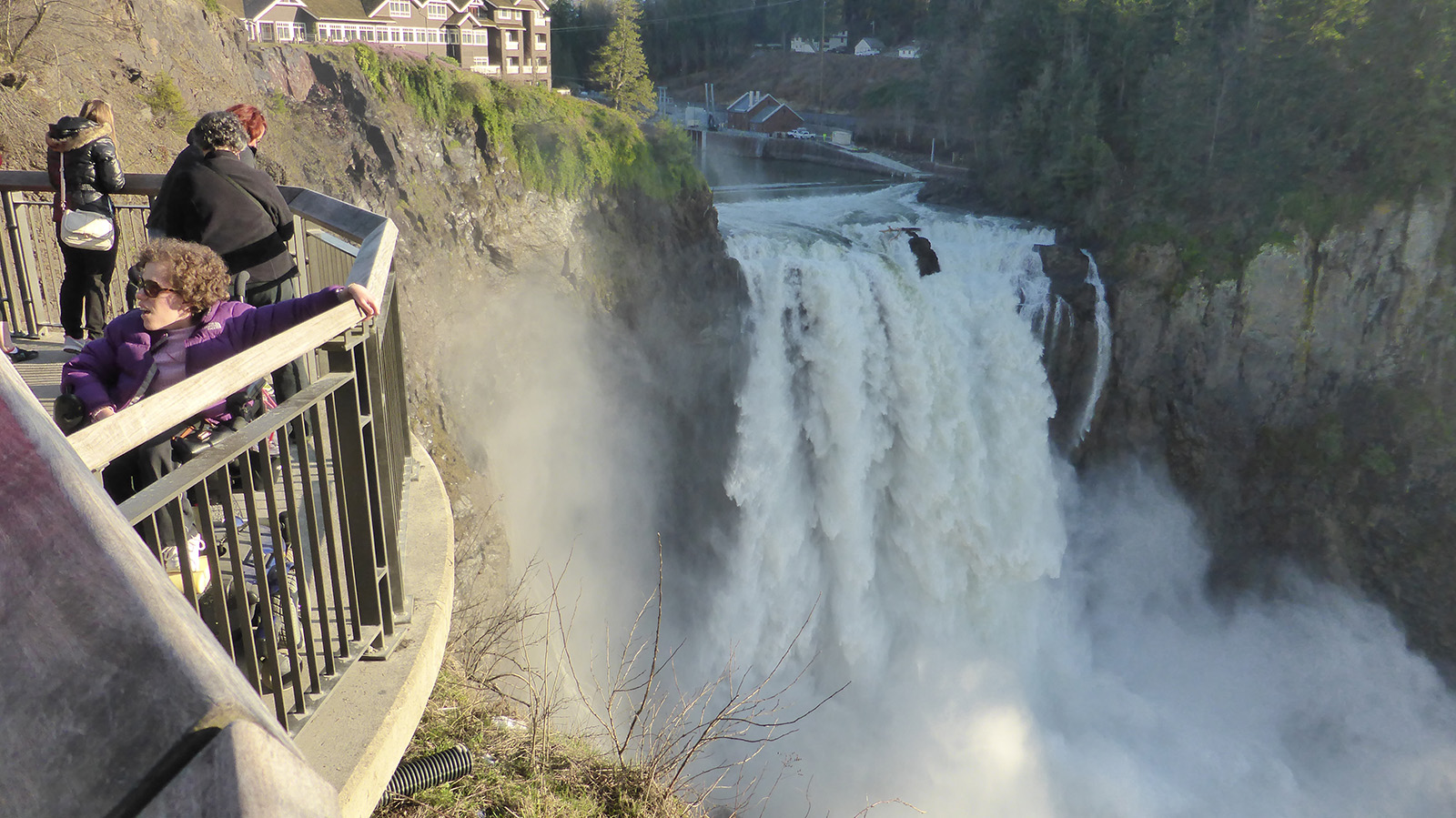
